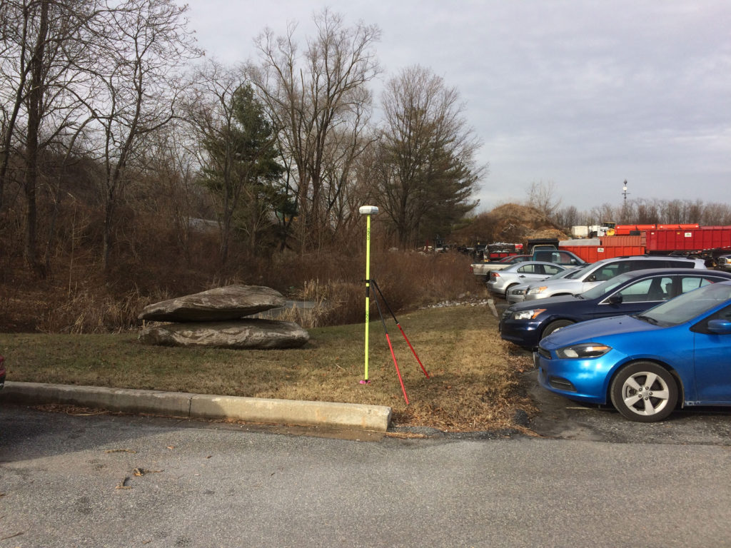
LAND SURVEYS
SMC originated from the fast-paced land development engineering community. This background combined with a passion for accuracy, attention to detail, and client service has attracted a committed staff of professionals highly qualified in their individual disciplines. SMC provides a wide range of engineering and survey services throughout Maryland and has impeccable service geared towards ultimate customer satisfaction. This coupled with our deep understanding of both design and construction sets us apart both as a Prime and a DBE/ WBE certified firm in teaming and support opportunities. We combine our deep experience in many aspects of design and construction to ensure the needs of our clients are met.
SMC Staff has an intimate understanding of the importance of timely response, accurate data, and clear and organized deliverables. Our team is led by licensed Professional Land Surveyors and Engineers with 30 years of experience in a wide range of diverse land improvement projects. Our equipment includes RTK GPS, robotic total stations, and drones, and industry-standard software (AutoCAD, Carlson Survey, ArcGIS, Civil 3D, TR-20, HY-8, HEC-RAS, HydroCAD).
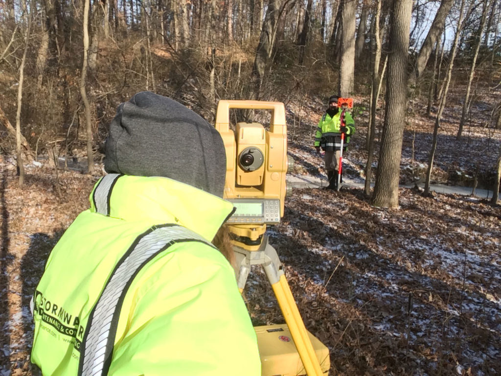
CONSTRUCTION STAKEOUT
SMC’s surveyors have very diverse experience, having staked out a wide range of site development and residential projects over many years. Our full-circle knowledge of design and surveys, and attention to detail, uniquely qualifies us to provide a high level of accuracy and quick turn-around.
DIGITAL DRONE IMAGERY / PHOTOGRAMMETRY
AND AERIAL PHOTOGRAPHY
SMC has professionals with expertise in using state-of-the-
art drone equipment to create video footage and aerial
photography of a project site to give our clients a bird’s eye
view of each phase of the work being done so that one can
see progress made and adherence to project schedules.

To schedule a survey, follow this link to SMC’s service request form.