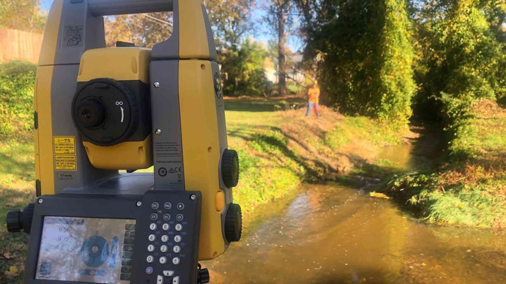
LAND SURVEYS
SMC originated from the fast-paced land development engineering community. This background, combined with a passion for environmental sustainability has attracted a committed staff of professionals highly qualified in their individual disciplines. SMC provides a wide range of engineering and survey services throughout Maryland and has impeccable service geared towards ultimate customer satisfaction. This coupled with our deep understanding of both design and construction sets us apart both as a Prime and a DBE/WBE certified firm in teaming opportunities. We combine stormwater facility design and surveying expertise to provide complete and approvable as-built certification packages for regulatory agencies.
SMC has an intimate understanding of the importance of timely response, accurate data, and clear and organized deliverables. Our team is led by licensed Professional Land Surveyors and Engineers with 30 years of focused experience dedicated to stormwater design. Our equipment includes RTK GPS, robotic total stations, and drones, and industry-standard software (AutoCAD, Carlson Survey, ArcGIS, Civil 3D, TR-20, HY-8, HEC-RAS, HyrdroCAD).
DIGITAL DRONE IMAGERY / PHOTOGRAMMETRY AND AERIAL PHOTOGRAPHY
SMC has professionals with expertise in using state-of-the-art drone equipment to create video footage and aerial photography of a project site to give our clients a bird’s eye view of each phase of the work being done so that one can see progress made and adherence to project schedules.

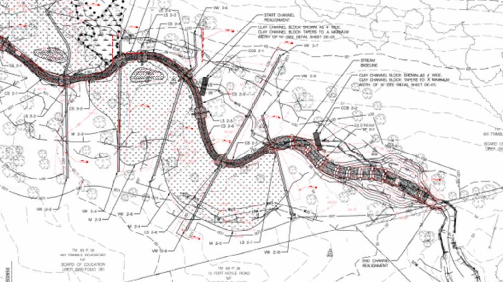
AS-BUILT COMPUTATIONS / PLAN PRODUCTION
SMC’s field work goes through a carefully analyzed process using AutoCAD with Carlson Survey to provide the most accurate information. We strive to provide our clients with drawings corresponding to their AutoCAD standards. All SMC plans and drawings go through a quality control process to guarantee the best product.
To schedule a survey, follow this link to SMC’s service request form.